

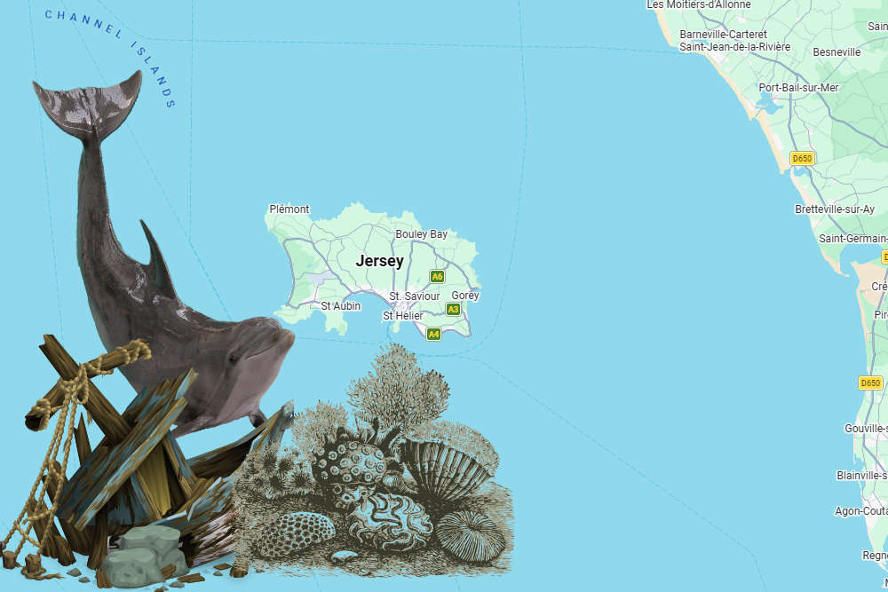
A new digital atlas for Jersey makes it easier to see shipwreck locations, marine habitats and records of dolphin activity.
An interactive map has been created of Jersey's Marine Spatial Park.
The tool has been developed by government to help people understand the 90% of Jersey hidden below the tide line.
It includes the new marine protected areas where dredging and trawling will be banned in two stages, starting this September.
The maps and charts can be seen at Jersey Marine Spatial Plan
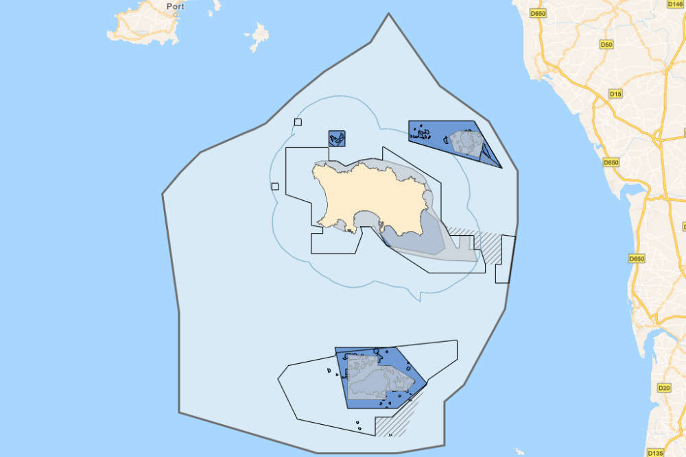
Layers include known shipwreck locations and their date of sinking, a dolphin index showing activity collated from hydrophones that are stationed around Jersey, and a base map that shows the extent of Jersey’s territorial waters.
The atlas was created between I&E's Marine Resources team and Geospatial team to bring the map layers together in a way that is accessible for public viewing.
 Two tax deadlines extended
 We've had the Earth, now it's Jersey's turn for the Moon
 Till stolen in burger bar break-in
 WATCH: Jersey teen 'tired but proud' after completing 'Journey of Hope'
 How you CAN make a difference with just a tin...
 Rev up for the Jersey Rally
 Island Healthcare Fund created
 Maison des Amis gets official opening

Comments
Add a comment