

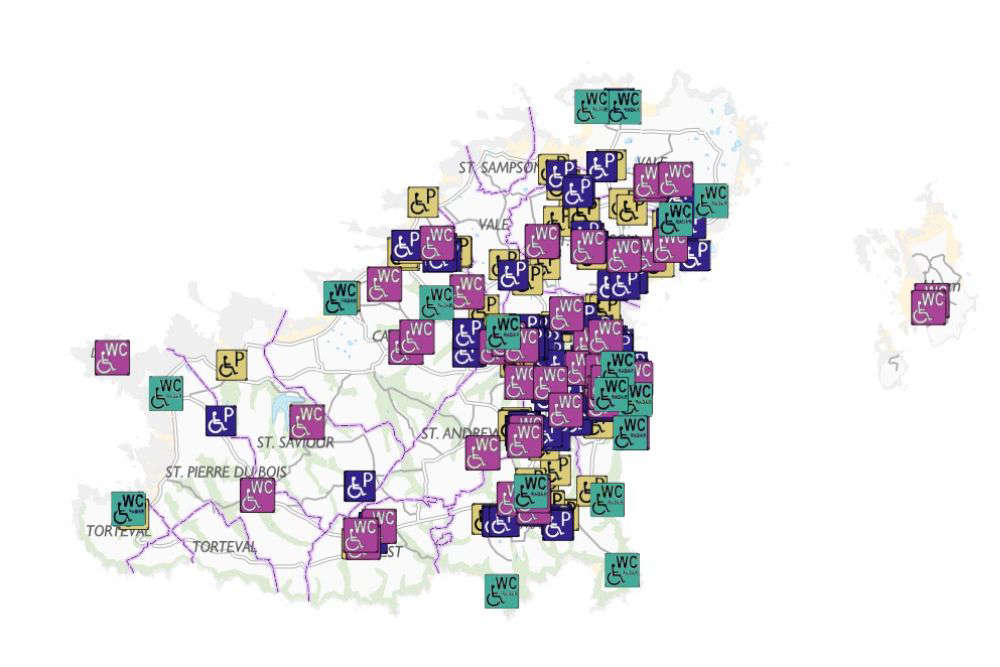
A new digital map, designed to help disabled islanders confidently explore the Bailiwick, shows the location of blue badge parking and public toilets.
States Disability Officer, Gill Evans, worked with the Guernsey Digimap Service to develop the map.
They had input from Traffic and Highway Services and Guernsey Ports to catalogue as many facilities as possible in Guernsey, Alderney and Herm.
Gill says this will help disabled islanders get out and about.
“Information about where to find different facilities is particularly important for people with a disability.
"The location of parking spaces and toilets is key information that people need to know when planning their trips.
"Some information is already available on the AccessAble access guide, but having the locations available on this map will complement that information.”
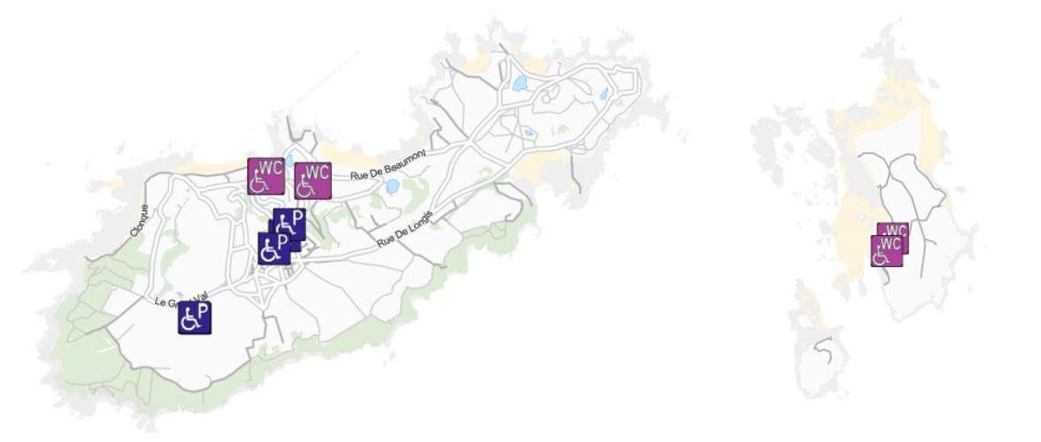
The map can be accessed from https://gov.gg/drivinginguernsey or via Digimap
 Deputies vote in GST at 3% as part of tax reform package
 Man charged with murder of Hannah Benfield in Alderney
 Deputy Inder apologises for raising middle finger to GST protestors
 Guernsey employers face delay over work permits
 Chris Kamara launches men's mental health initiative in Guernsey
 Alderney murder investigation stretching Guernsey Police resources
 Channel Islands Christmas Lottery tickets on sale